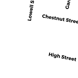
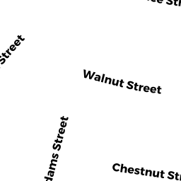
185 -87 CHESTNUT ST
Owner Information
FLAHERTY, JOHN F.
156 UPLAND RD
CONCORD, MA 01742


Property Details
185 -87 CHESTNUT ST is classified as a Two-Family Residential (Two family).
The primary structure on this property was built in 1910. There are 2,311ft2 of built area within this property. There is 2,311ft2 of residential/living space within this property. This property is listed as having 10 rooms. There are 2 units within this property.
185 -87 CHESTNUT ST is valued at $682,900. The land is valued at $306,600 and the structures are valued at $370,800. There is an additional valuation of $5,500 on this property.
The most recent deed for 185 -87 CHESTNUT ST is recorded at the local registrar in Book 47888, Page 23-24. 185 -87 CHESTNUT ST was last sold on Friday, July 28, 2006 for $470,000.
Assessment data from fiscal year 2022.
Flood Data
According to the FEMA National Flood Hazard Layer, this property does not appear to be in a flood zone. It may also be in an area not yet reviewed. Nonetheless, confirm this information prior to taking any action.
To view the flood hazards around this property, create a FEMA "Firmette" Map of the area around 185 -87 CHESTNUT ST.
Broadband Internet Providers
| Provider | Type | Bandwidth (mbps) | |
|---|---|---|---|
| Verizon New England Inc. | Fiber | 940 | 880 |
| Comcast | Cable | 1000 | 35 |
| RCN | Cable | 500 | 20 |
| RCN | Cable | 1000 | 20 |
| GCI Communication Corp. | Satellite | 0 | 0 |
| HughesNet | Satellite | 25 | 3 |
| VSAT Systems, LLC. | Satellite | 2 | 1 |
| Viasat Inc | Satellite | 100 | 3 |
| Verizon New England Inc. | DSL | 10 | 1 |
Broadband service provider data from December 2020.